


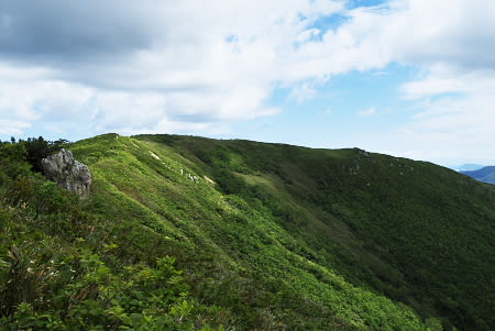


両古美山 806m
無沢 832.5m
当丸山 799.7m (トーマル峠コース)
2014/06/29 晴れのち曇り
全行程:6時間20分、全15.4km
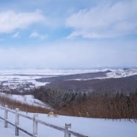
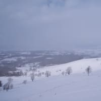
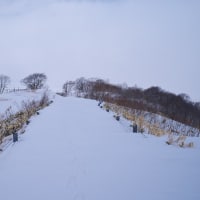
駐車場 (7:45) - 両古美山 (8:35) - 無沢 (9:45-9:50) - 783展望台 (11:00-11:05) - 両古美山 (11:25) - 駐車場 (12:15-12:20) - 当丸山 (12:50) - 当丸沼 (13:25) - 小沼 (13:45) - 駐車場 (14:05)
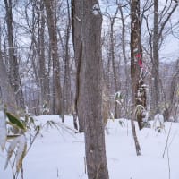
暑い。最近のものと思われる熊糞が2箇所にあった。
当丸山から当丸沼への道は、倒木があったり崩れたりしている。

※コメント投稿者のブログIDはブログ作成者のみに通知されます