


出動予定していた明日はGWの休日なので混みそう。
本日休暇を取り、奥只見に行ってきました。
逆に明日は出勤になります。。。
天気:晴れ
雪質:春雪
混雑:リフト待ち3分
服装:ロンT+ベスト+コーチジャケット
満足度:★★☆☆☆
google map(yukiyamaアプリ)
リフト乗車回数:14 回(14回)
移動距離:26.318km(26.4km)
滑走距離:- km(18.3km)
所要時間:-(3.3時間)
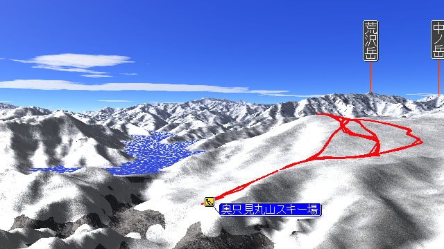
最高標高:1236.000 m(1241m)
最高速度:- km/h(57.6km/h)
※GARMINの電源入れ忘れ、、、スマホのgoogle mapデータをカシミール3Dで読み込み。
使用フレーム:STYLE-A S.A.S.
使用ボード:SUNN OST-06B
使用ハンドル:10.0inch BAR
平日とはいえGW中なのでまあまあの混雑を予想してましたが、そんなことはありませんでした。
奥只見は近くの駐車場を確保しないと致命的に面倒なので、7時前に到着するつもりで家を出ました。

6時ぐらいに「夏がくれば 思い出す、はるかな尾瀬 遠い空」を聞きながら、シルバーラインへ突入。

20kmぐらいほぼトンネル。
奥只見ダムの建設用道路として昭和32年開通ということで、かなり古い。
有名な黒部ダムと同時期らしい。

トンネルを出ると有料駐車場に入る車列がありましたが、私は脇をすり抜けて。

3段目の無料駐車場に6:30頃到着。
かなり早く到着してしまったので、1時間近く車内で仮眠。
朝早かったからね。
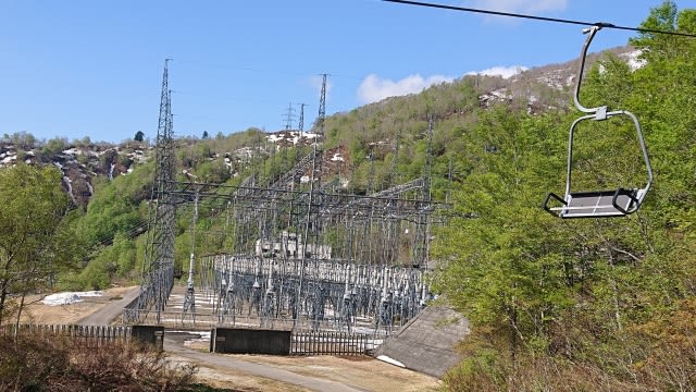
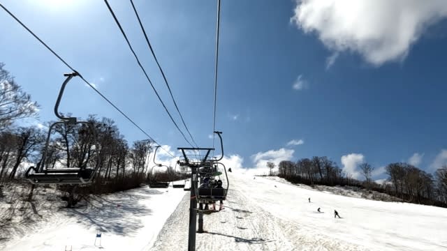
リフトから見える奥只見ダムの送電設備。
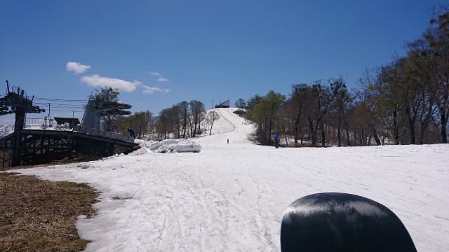
正面を見ると八崎ゲレンデ。
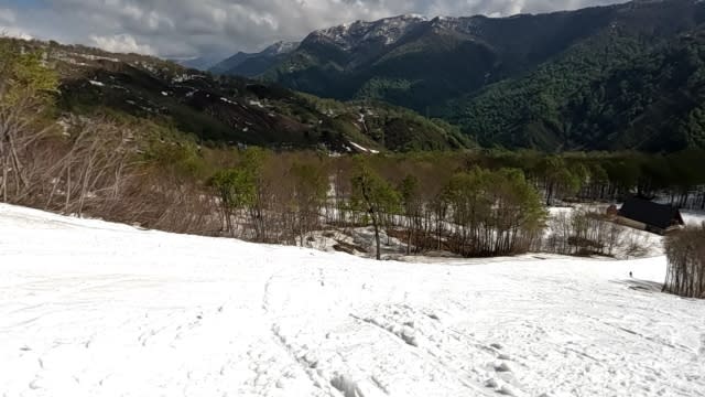
やっぱりいつもよりかなり雪が少ない。
スキー場が頑張って雪を集めて下山できるようにしてくれています。
後は、各コースの画像を張っておきます。

八崎ゲレンデ
山頂の丸山ゲレンデ

中腹のカモシカAコース(上部のみ)
カモシカA下部からの急斜面のカモシカEコースは雪がないので滑ることはできません。
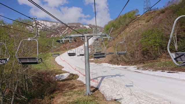
カモシカBコース(下部)。
朝はフラットで滑りやすかったですが、すぐにコブコブになりました。
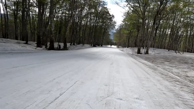
ブナ平Bコース。
ほぼフラットなので、雪が悪いとスケーティングが必要。
今日は気温が上がるとギリアウトで最後はスケーティングが必要でした。

戻って中腹のカモシカBコース上部。
ここもカモシカAとほぼ同じ。
途中に土が出ている部分あり。

九十九折のカモシカCコース上部。
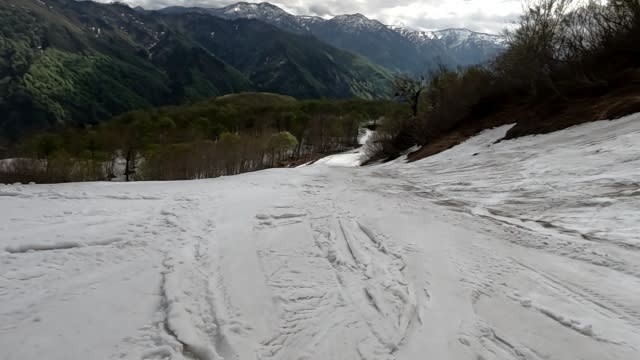
同じくカモシカCコース下部。
ここでスピードが落ちると、この後のブナ平Bがスケーティング地獄になる。
明日は出勤なので、説明が雑で申し訳ありません。。。
スクート乗りの方は2名ほど見かけました。
私はあと1回滑ってシーズン終了にする予定です。
※コメント投稿者のブログIDはブログ作成者のみに通知されます