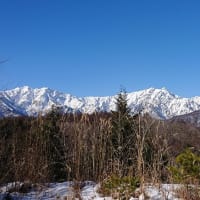
On Saturday, November 19th, we went to Takamatsuyama 1,670m JA/NN-101 in Nagawa town for SOTA activation. Here is a place where the mountain trail is not clear, but can we climb it?
↓後ろが高松山山頂上方向
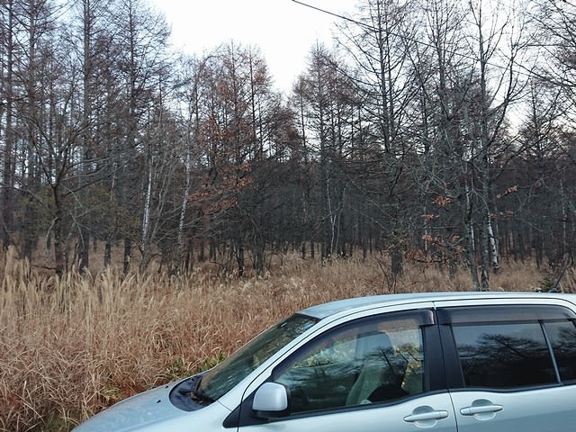
↑The direction to the summit of Mt. Takamatsu is in the back
↓今年はスタートから作業林道がぼうぼう。

↑This year, the work forest road is bumpy from the start.
↓相変わらず倒木は倒れたまま。

↑The fallen tree is still fallen.
下図の①で左に曲がり林道沿いに進んだが、背丈ほどのカヤトがぼうぼうで失敗。
Turn left at ① in the map below and proceed along the forest road. However, there were many kaya that were taller than my height.
↓何とか作業林道をたどり、右に曲がる分岐点②。あそこを右上に林道を進む。

↑Follow the work forest road and turn right at the junction ②.
この後、どこで林道から尾根筋に上がるのかが良く判らず、少し林道を行きすぎて、林道が下り始めた所まで来て、少し戻って。尾根筋に入る。③
After this, I didn't know where to go up from the forest road to the ridgeline, so I went a little too far on the forest road, came to the place where the forest road started to descend, and then went back a little. Enter the ridgeline. ③
今年はAWEさんの通ったルートで、カヤト藪を右に見ながら④、と言うかカヤト藪の端の方の藪の中を進む感じで稜線迄回り込んで⑤稜線を登る。
This year, on the route that AWE took, looking at the Kayato grove on the right, ④, or rather, going around the edge of the Kayato grove, going around the ridgeline and climbing the ridgeline ⑤.
去年、一昨年の様に直登ルートは避けたもののかなり距離が長い感じだ。
Like last year and the year before last, I avoided the direct climbing route, but it feels like it's a long distance.
↓やっとの事で山頂到着。1時間20分ほど掛かった。

↑We finally reached the summit. It took about 1:20.
↓気温は8時過ぎで約1℃。

↑The temperature is about 1°C after 8:00.
↓東には蓼科山と八ヶ岳が見える。
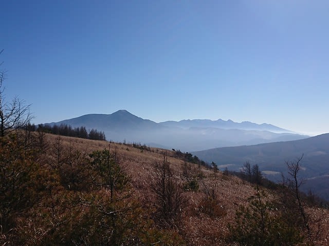
↑Mt. Tateshina and Yatsugatake can be seen in the east.
↓南西には鷲ヶ峰。
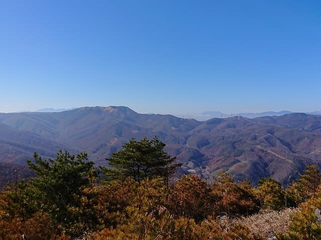
↑Washigamine is in the southwest.
↓無線機の準備をする。

↑Prepare the radio.
14MHzからCQ。CQ from 14MHz.
台湾、北米のお馴染みさんからコールされる。
Called from Taiwan and North America.
18MHzではDXは台湾のみ。
At 18MHz, DX is only from Taiwan.
21MHzではニュージーと北米からのコール。
21MHz calls from New Zealand and North America.
↓アンテナはこんな感じ。

↑Today's Antenna
今日はなんとなく28MHzも良さそうなので、28MHzでもCQ。
28MHz seems to be good today, so CQ at 28MHz.
北米から1局呼ばれた。後で確認するとなんとS2Sだった。
Called from North America. When I checked later, it was S2S.
↓この後は、S2Sを待ちながらお昼ご飯にする。

↑After this, we will have lunch while waiting for S2S.
Xはこの時点でVUは6局ほど。
XYL has 6-QSOs on V/U at this point.
↓昼飯の後は、XがCW練習で7MHzに出る。
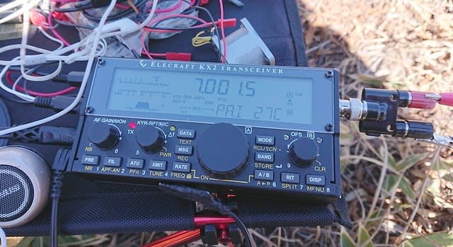
↑After lunch, XYL CQ-call at 7MHz for CW practice.
SPOTを上げると沢山呼ばれ、練習にならないので、TWの委員会にだけに告知。
If SPOTed, she will be called a lot and will not be practice, so let say on the TW only.
無事に7CWでのんびりと6局ほどQSO。少しは練習になったか。
She has 6-QSO on 7CW. Did she get a little practice?
この後は、S2S待ちで少し運用する。
After this, we will wait for S2S and operate for a while.
↓S2Sもほぼ途切れた所で、撤収・下山開始。下りはカヤト藪をまっすぐ降りる。⑥

↑S2S was almost cut off, we descent started. The descent goes straight through the sedge grove. ⑥
↓かなりぼうぼうの急斜面を慎重に下る。⑥

↑Carefully descend the steep slope. ⑥
↓林道から尾根筋に上がる所。⑦

↑A place to go up to the ridgeline from the forest road. ⑦
登りでは行き過ぎて頂点を過ぎたが、頂点手前のこの辺りから上がれば良さそうだ。
I went too far on the climb and passed the top, but it looks like I should be able to go up from this area just before the top.
一部ぼうぼうだった林道を避けて真っ直ぐ降りる。⑧
Avoid the thatched forest road and go straight down. ⑧
↓無事に車まで到着・
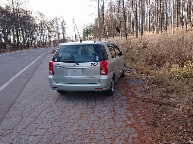
↑Arrived at the car.
↓今日のルート。Today's route map.

本日の結果 Today's result
14MHz/CW 7-QSO BV=1 W=1 S2S=3(JA) include
18MHz/CW 2-QSO BV=1 include
21MHz/CW 2-QSO ZL=1 W=1
28MHz/CW 1-QSO S2S=1(W)
7MHz/CW 18-QSO S2S=13(JA) include
144MHz/SSB 1-QSO S2S(JA)
144MHz/FM 2-QSO S2S(JA)=1
430MHz/FM 1-QSO S2S(JA)
合計 Total 34-QSO
本日もお相手頂いたor追いかけて頂いた各局様有難うございました。
TNX for all stations who QSO with me or searching for me!
2022.11.19 (11/21 UP)


