


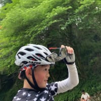
Brand new rubber for 9 years old today.
Supple and rolling feeling good.

Our starting point is Akigawa River, whence we cycled along the Tama river to log extra miles to pick up our companions.
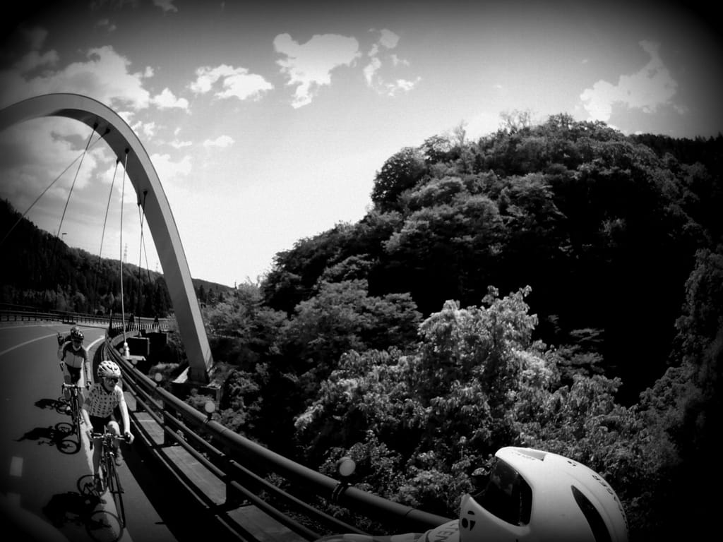
After randevous --- our middle aged companions rode 50km from metropolitan Tokyo to get here --- the route suddenly took us in the middle of Okutama mountain side. It is still within Tokyo metropolitan city limit.
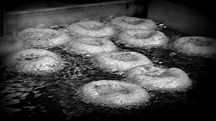
At the foot of Tokisaka Pass --- we were greeted with Okara doughnuts, made from okara (tofu dregs) at Chitoseya. We cycled past many tofu shops along the route.

Tokisaka Pass is located just around 10km from Itsukaichi Station, the nearest train station.

4km at average gradient of 8%. You can say it is a little steep, but this route is dead end forest road (the other end is blocked due to landslide), so it is very quiet. Ideal for group ride for chitchat.
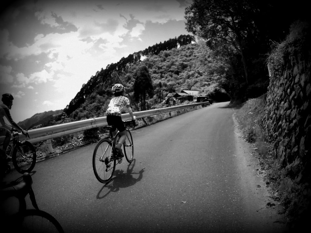
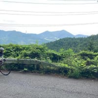
The climb begins with serpentine switchbacks under dense forest canopy, then the road took us to a tiny village where you can look up --- way up --- steep switchbacks (ala Alpe D'huez, as told by my 9 years old), that look down on us.

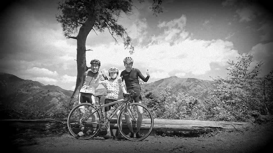
Soon the guardrails disappear. The openness, immersiveness into the mountain scape is total. This is the viewpoint.
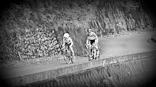
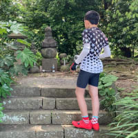
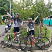
Photogenic 9 years old and forty something.
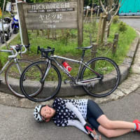
The climb is a little steep but bearable as it is only 4 km long.

Distance 60.90km
Ride time 2:50:12
Elevation gained 625m
Ave Speed 21.5km/h
Ride time 2:50:12
Elevation gained 625m
Ave Speed 21.5km/h


※コメント投稿者のブログIDはブログ作成者のみに通知されます