


2022年4月22日 道遊ダム
道遊ダムは新潟県佐渡市相川銀山町の濁川水系右沢川にある佐渡市上下水道課が管理する上水道用水目的の重力式コンクリートダムです。
旧相川町の上水道水源として1975年(昭和50年)に竣工し、2004年(平成16年)の市町村合併による水道事業統合で現在は佐渡市の管理となっています。
ここで貯留された水は西方約1キロにある右沢浄水場を経て相川地区に給水されています。
車道はダムの左岸(南側)高台で終点。
眼下にダムと貯水池が見えます。

フーチングからダム下に下りられます。
堤高25メートル
洪水吐はクレスト自由越流頂1門のみの自治体管理の上水ダムらしい簡易な作り。

左岸建屋から突き出た鉄管
この鉄管で右沢浄水場に送水されます。

フーチングが開放されているので真横からダムを見ることができます。

左岸のフーチングと階段。

ダムサイトには旧相川町と施工者の日特建設による銘板が並びます。

天端も開放されています。
というか、こんなところに人が来ると想定してないんでしょう。
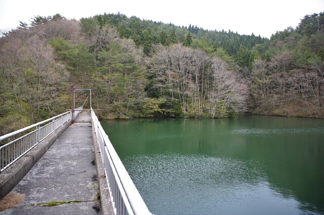
総貯水容量は48万7000立米。

天端から
左手は放流設備で3枚目写真の鉄管はこの建屋から出ています。

不安定な天気でしたが、雲の切れ間から夕陽に輝く日本海が見えました。
ちょっと幻想的。

0767 道遊ダム(1793)
新潟県佐渡市相川銀山町
濁川水系右沢川
W
G
25メートル
63メートル
487千㎥/487千㎥
佐渡市上下水道課
1975年
※コメント投稿者のブログIDはブログ作成者のみに通知されます