


2017年2月27日 斎宮調整池
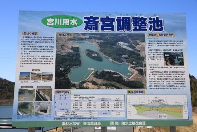
斎宮調整池は三重県多気郡明和町と一部玉城町にまたがる灌漑用アースダムで、農水省の宮川用水第二期土地改良事業により2011年(平成23年)に建設され宮川用水土地改良区が受託管理を行っています。
宮川上流の栗生頭取工で取水され伊勢平野を縦断する宮川用水の調整池として、ともに江戸時代を起源とする斎宮池と惣田池を合体させて建設されました。
貯水容量は200万立米にアップし宮川の水量に余裕のあるときに貯水し、需要期に活用する宮川用水の調整池となっています。
本堤のほかに第1~第3までの副堤がありますが、副堤はすべて堤高15メートル未満のためダム便覧には掲載されていません。
県道39号から県道119号へ向かう農免道路を南下すると斎宮調整池の堤体が見えてきます。
右岸に立派な駐車場があり大きな案内板が立っています。
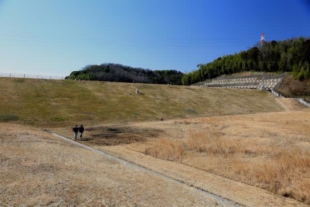
ダム湖を周回する道路は一部を除き車両通行止めですが、徒歩なら立ち入り自由で地元のみなさんのウォーキングコースになっています。
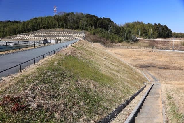
下流面と天端
天端は車両通行止め。
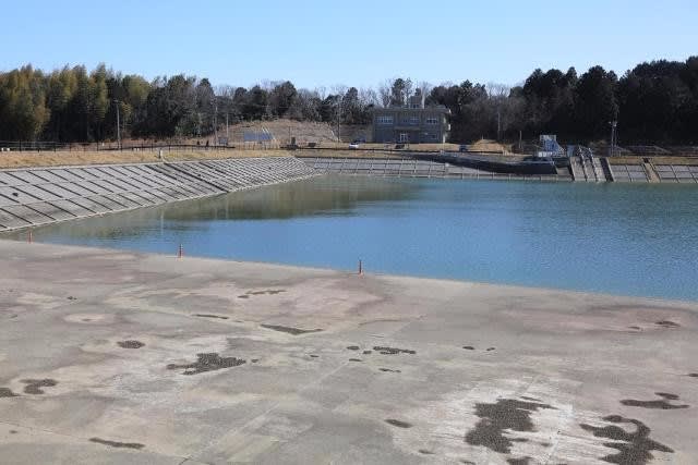
貯水池
二つの溜池を合体させたためリアス式海岸のような複雑な形状で中の島もあります。

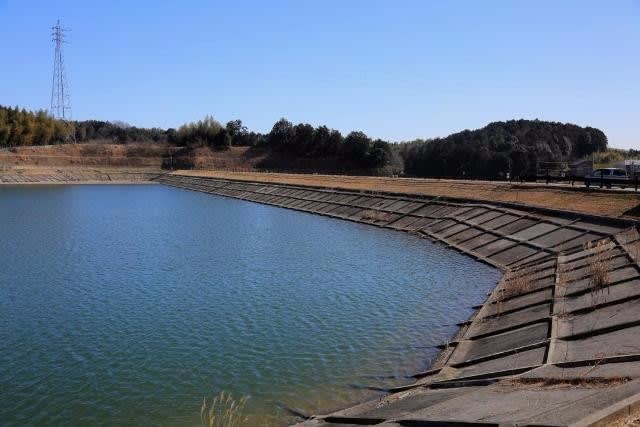
天端と上流面
右岸の管理事務所と斜樋。

左岸洪水吐
2011年竣工ということでコンクリートは白いままです。
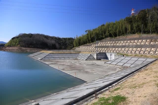
洪水吐導流部。

洪水吐と上流面。

左岸から上流面。
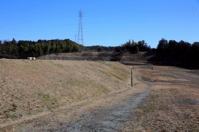
第2副堤の上流面。
第2副堤の下流面、旧惣田池の主堤だったところです。
堤高14.5メートルと15メートルにわずかに及びませんが、堤頂長は223メートルと主堤を凌ぎます。
3263 斎宮調整池(0852)
三重県多気郡明和町池村
河道外水系
A
E
16メートル
181メートル
宮川用水土地改良区
2011年