


関市洞戸の超マイナーな低山編笠嶽に登ってきました。
県道182号線を洞戸から南下します。
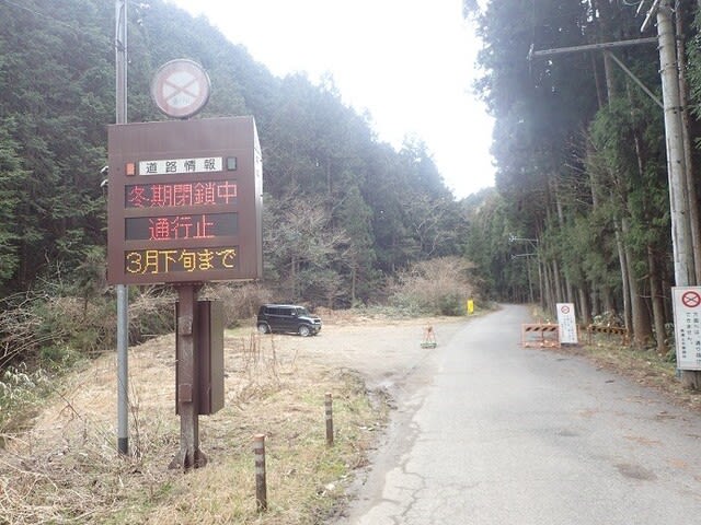
最後の家屋を過ぎたところの通行止め箇所の路肩に駐車。 3月末まで通行止めですがもう雪もないので地元の車は普通に通ってます。

駐車場所から少し戻って杉洞谷沿いの林道に入ります。

林道は倒木とか多いので車は全く入ってないようです。

林道終点からそのまま谷沿いに上がって行きます。

落ち葉が滑りやすい斜面でした。

登った支尾根には踏み跡は全くなく岩を避けて詰めあがります。

稜線まで上がると踏み跡がありました。山頂の北側の肩に出ました。

展望の全くない山頂です。 いつものようにコーヒーブレイクしてから下山しました。

下山路は北西方向に落ちる尾根を下りました。

悪くはない雰囲気。

ちょこっと痩せ尾根があったりして。

樹々の間に見えた洞戸の街。

1月に登った瓢ヶ岳?かな。
県道182号線を洞戸から南下します。
最後の家屋を過ぎたところの通行止め箇所の路肩に駐車。 3月末まで通行止めですがもう雪もないので地元の車は普通に通ってます。
駐車場所から少し戻って杉洞谷沿いの林道に入ります。
林道は倒木とか多いので車は全く入ってないようです。
林道終点からそのまま谷沿いに上がって行きます。
落ち葉が滑りやすい斜面でした。
登った支尾根には踏み跡は全くなく岩を避けて詰めあがります。
稜線まで上がると踏み跡がありました。山頂の北側の肩に出ました。
展望の全くない山頂です。 いつものようにコーヒーブレイクしてから下山しました。
下山路は北西方向に落ちる尾根を下りました。
悪くはない雰囲気。
ちょこっと痩せ尾根があったりして。
樹々の間に見えた洞戸の街。
1月に登った瓢ヶ岳?かな。


※コメント投稿者のブログIDはブログ作成者のみに通知されます