見広城址は、旭市役所の北東約5kmのところ
県道71号線と県道73号線の間の台地上
雷神社の南側に有ります
雷神社の
 駐車場を利用させて頂きます
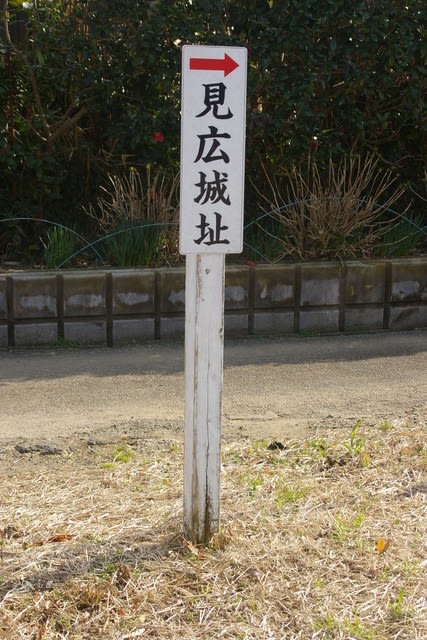
雷神社の駐車場の南側に見広城址への案内板が有ります
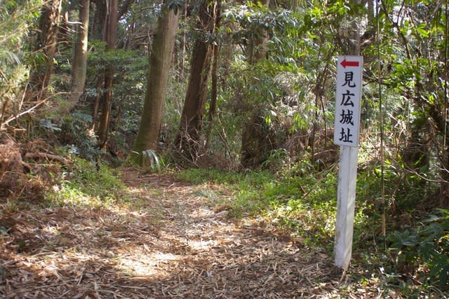
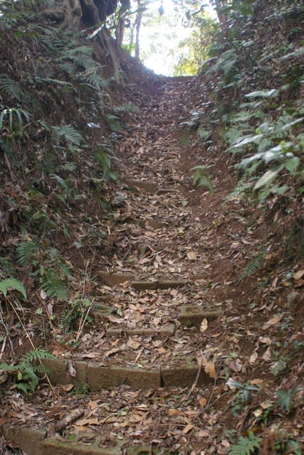
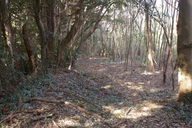
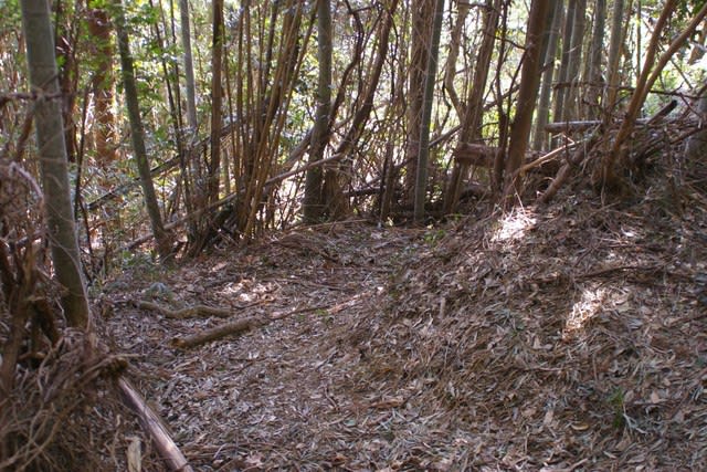
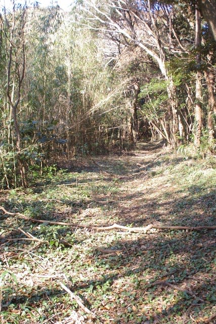
住宅の間の道を西に進むと、また案内板が有ります、この先が堀切の様です

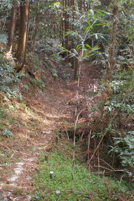
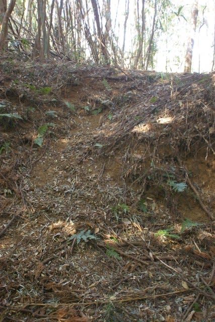
堀切です

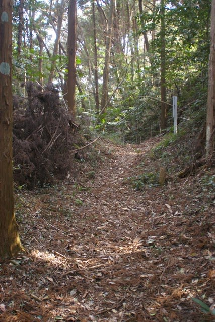
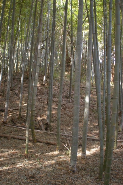
右側に本郭跡が有ります

説明版が有ります
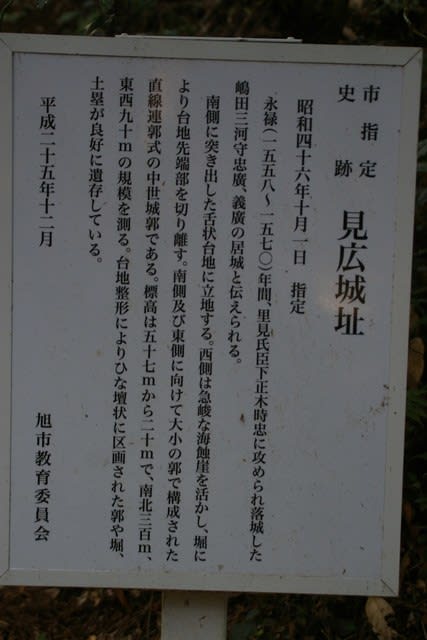
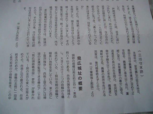
市指定史跡 見広城址
昭和46年10月1日 指定
永禄(1558~1570)年間、里見氏臣下正木時忠に攻められ落城した嶋田三河守忠廣、
義廣の居城と伝えられる。
南側に突き出した舌状台地に立地する。西側は急峻な海蝕崖を活かし、堀により台地先端部を
切り離す。南側及び東側に向けて大小の郭で構成された直線連郭式の中世城郭である。標高は5
7m~20mで、南北300m、東西90mの規模を測る。台地整形によりひな壇状に区画され
た郭や堀、土塁が良好に遺存している。
平成25年12月 旭市教育委員会
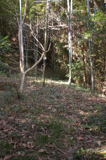
本郭への入り口です

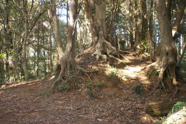
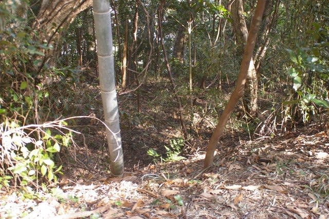
上がった右側です、郭北側先端部です、祠がります
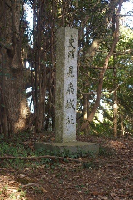
上がった左側に回り込むと、城跡碑がありました、立っている所が標高57mの部分の土塁上です


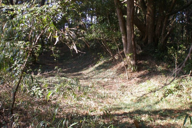
史蹟碑の前から本郭を見ました、左手です

こちらが右手です、中心部は笹薮のため見通せません、まずは右から反時計周りに見て行きましょう

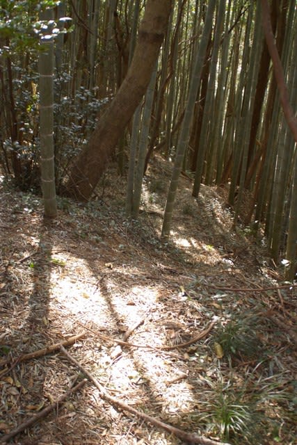
本郭へ降りるところで土塁を見上げました
左側の道の脇には、低い土塁が残ります

西側の海蝕崖です、下まで一直線に下っています

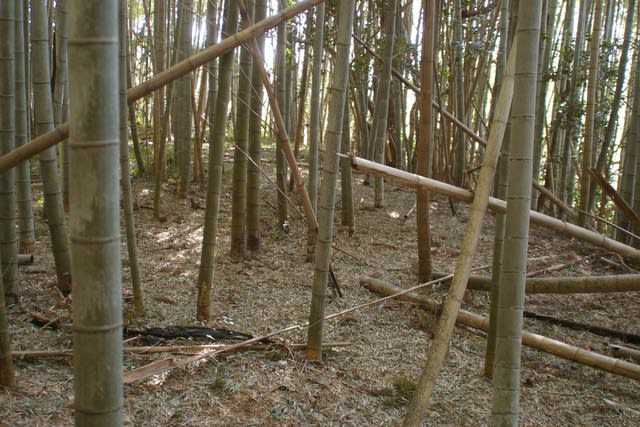
本郭と二の郭の間の虎口の様ですが、竹藪になっています

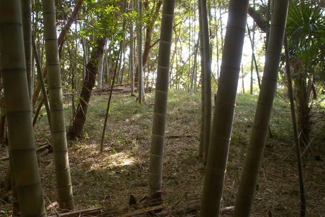
二の郭です
物見台跡の様です、近所のお宅のテレビアンテナが設置されています

薮越しに南西側が見通せました
二の郭から腰郭への虎口の様です、この先腰郭の先は藪で道が無くなっています
二の郭に戻ります高度差が5m程あります
二の郭の東端を北へ進みます
東側に回り込むように腰郭が続いています

二の郭から本郭への東側琥口のようです

本郭東側の通路です
東側に低い土塁が残っています
城跡碑の前まで戻って来ました

では、次へ行きましょう


(雷神社に見広城の説明パンフレットが有りました、城跡見学の参向にさせて頂きました)